
bronte_2019_salvatore_consoli
Geodetic surveys: Logistics and measuraments
Stefano Consoli
Istituto Nazionale di Geofisica e Vulcanologia – Osservatorio Etneo
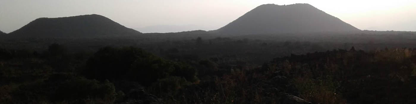
Sicilian volcanoes are among the very first in the World to be studied by geodetic techniques. First geodetic networks were installed in the ’70 and since then a fairly continuous monitoring was never interrupted, providing one of the longest and most complete time series in the World. In the last four decades, the geodetic networks evolved from discrete terrestrial networks to continuous terrestrial and spatial networks. The oldest networks were based mainly on optical topographic systems, EDM (i.e. distance measurements) and levelling measurements (i.e a mono-dimensional height variation); current geodetic networks are based on the tri-dimensional GNSS measurements, even if some techniques, such as the levelling one, are still applied due to their higher precision. This evolution was performed with big effort both on engineering and logistics, in order to obtain more data and improve the knowledge of phenomena; in fact, thanks to the change from optical to satellite-based techniques, several benchmarks were moved to more accessible sites in order to reduce the installation times and efforts, and much other benchmarks were added to the initial network configuration, in order to improve the spatial resolution. The new benchmarks design was also thought to minimize the installation errors and the sites were chosen to allow semi-permanent installations for temporary continuous monitoring of the ongoing phenomena.
******************
I vulcani siciliani sono stati tra i primi ad essere studiati con tecniche geodetiche. Le prime reti geodetiche furono installate negli anni ’70 e, da allora, il continuo monitoraggio geodetico non è mai stato interrotto, producendo una delle serie storiche di misura più lunghe e complete al mondo. Negli ultimi quattro decenni, le reti geodetiche si sono evolute da reti terrestri discrete a reti terrestri e spaziali continue. Le reti più vecchie si basavano principalmente su misurazioni ottiche, EDM (misura di distanze) e di livellazione (ovvero una misura mono-dimensionale di altezza); le attuali reti geodetiche si basano su misurazioni GNSS tridimensionali, anche se alcune tecniche, come la livellazione, sono ancora utilizzate per la loro maggiore precisione. Questa evoluzione è stata possibile grazie al grande sforzo sia ingegneristico che logistico, al fine di ottenere più dati e migliorare la conoscenza dei fenomeni; infatti, grazie al passaggio dalle tecniche ottiche a quelle spaziali, molti capisaldi sono stati reinstallati in siti più accessibili per ridurre i tempi e gli sforzi per le installazioni, e molti altri sono stati aggiunti alla configurazione iniziale della rete, per migliorare la risoluzione spaziale. I nuovo capisaldi sono anche stati progettati per minimizzare gli errori di installazione ed i siti sono stati scelti per permettere installazioni semi-permanenti per il monitoraggio continuo temporaneo di fenomeni in corso.